|
WELCOME TO OXFORDSHIREVILLAGES.CO.UK WITH OVER 2,700 IMAGES OF OVER 300 VILLAGES NOWHERE HAS MORE PHOTOS AND MORE INFORMATION ABOUT VILLAGES IN OXFORDSHIRE THAN OXFORDSHIREVILLAGES.CO.UK! You are welcome to download any photo for your personal use. Please click here for information about the license. Oxfordshirevillages.co.uk is optimised for browsing on a laptop or desktop computer. It can be browsed on a tablet or smart phone and links and thumbnails generally work as intended except links in the horizontal menu bar which may not work, thereby denying access to parts of the website. Browsing Oxfordshirevillages on a smart phone is not ideal because of the size of the screen.
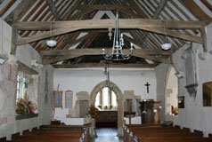
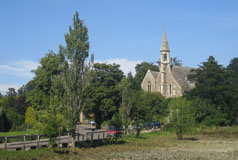
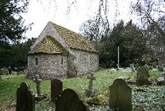
The full history and a full description of the architecture and details of features such as the bells, windows and fittings for most parish churches have now been included, with information which was provided mainly by British History Online but also with information from other sources. Where this information hasn't been included details of the attributes of the church which were taken into account by Historic England as being of architectural or historic interest and which led to its listing have been included instead. Often prominent in the centre of the village, sometimes at the edge of the village close to the old manor house, sometimes even in the park, the parish church has for centuries been the most important building in the village and central to village life for centuries. Often the original medieval building has been improved, altered or rebuilt over the centuries but most of these buildings are still considerd to be of such historic or architectural importance that they have been given the listed building status.
Bing maps provide a choice of three views of the area, i.e. The greater detail on the Ordnance Survey maps (e.g. footpaths, woods, churches, pubs etc.) make them particularly useful for exploring the villages and surrounding area on foot. All the Bing maps and views can be printed.
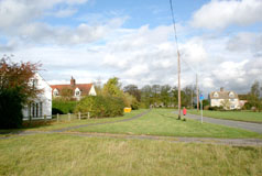
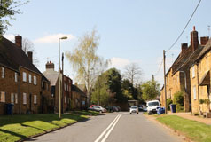
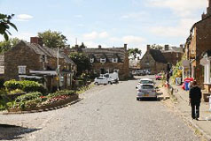
Nowadays villages everyhere are cluttered with the evidence of 21st century life. Unfortunately power and telephone poles, road signs and parked vehicles often make it impossible to take unspoiled photographs. Wheelie bins too ruin the appearance of a village. Although I have tred to avoid refuse collection days regrettably sometimes this has just not been possible.
Villages in the Berkshire and Marlborough Downs: Why not have a look at villages in the Berkshire and Marlborough Downs, part of the North Wessex Downs Area of Outstanding Natural Beauty, part of which borders Oxfordshire to the south and south-west? Berksandmarlboroughdownsvillages.co.uk is a sister site to Oxfordshirevillages.co.uk and is a similar guide to the downland villages.
|
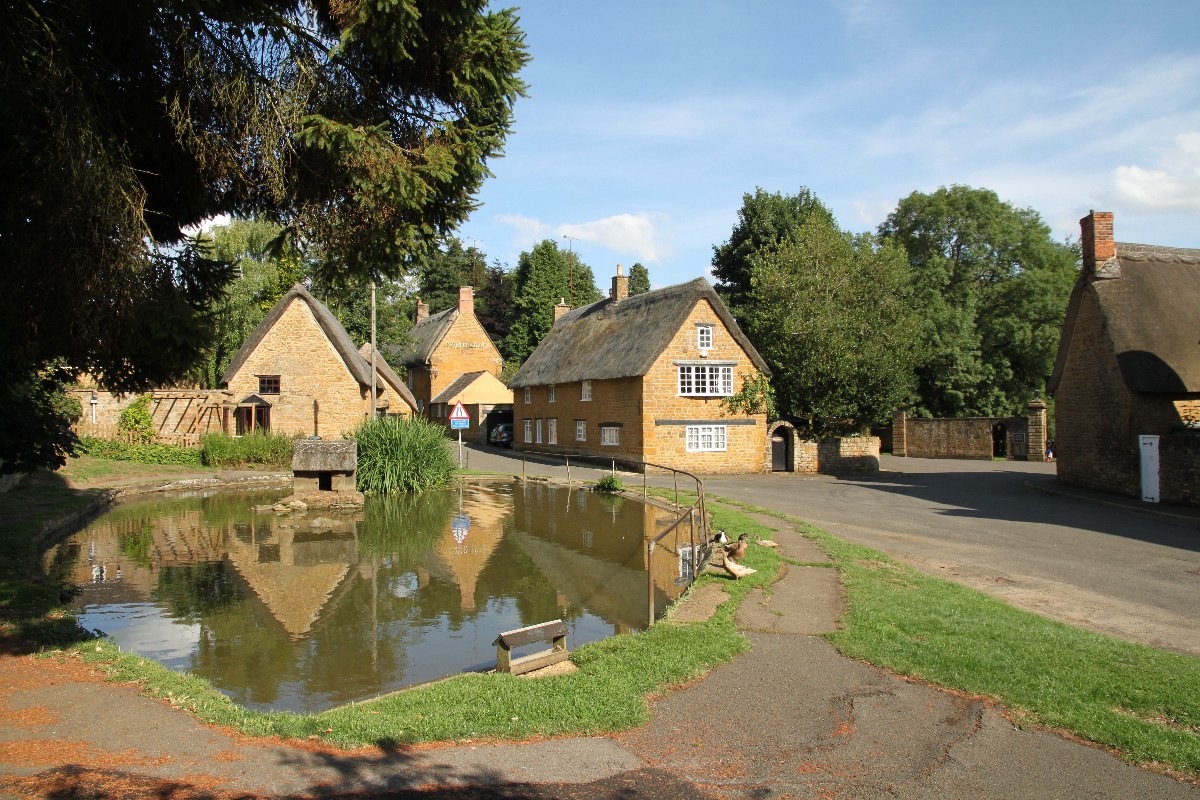
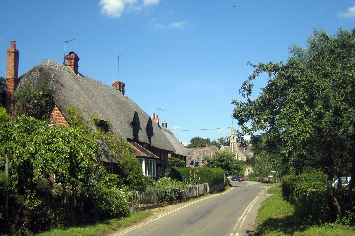
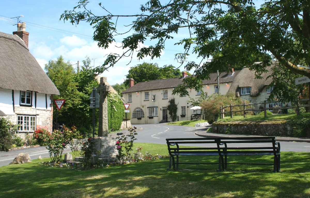
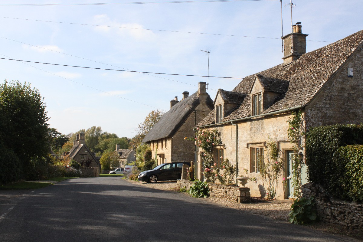
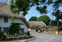
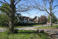
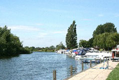
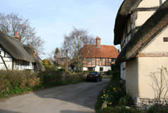
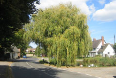
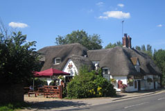
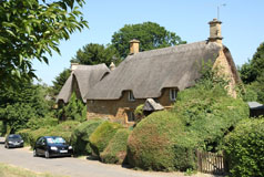
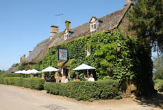
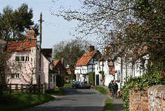
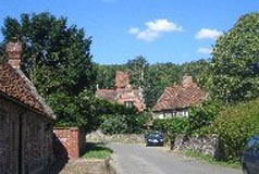
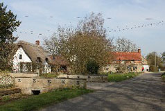
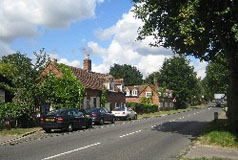
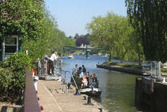
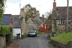
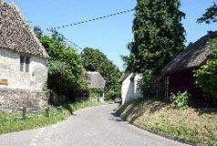
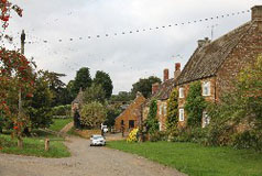
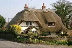
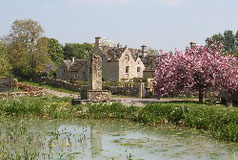
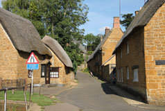
 From the Cotswolds to the Chilterns, Oxfordshirevillages.co.uk is a complete guide to Oxfordshire's beautiful villages with photos and brief information about each village.