|
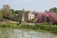
South Oxfordshire's landscape is attractively varied with a mixture of wooded hills and open countryside, rising gently from the flat countryside of Otmoor and the Vale of Aylesbury in the north to the chalk hills of the Chilterns in the south-east, roughly between Wallingford and Shiplake. |
|
The Chiltern Hills fall gently westwards towards the Thames, and part of South Oxfordshire is within the Chilterns Area of Outstanding Natural Beauty. The Stokenchurch cutting, which brings the M40 motorway into the district from the east, provides panoramic views from the Chilterns to the Oxfordshire Plain and the distant hills.
The Berkshire Downs provide part of the southern border of South Oxfordshire. The Downs are part of the North Wessex Downs Area of Outstanding Natural Beauty which also includes the area to the east of Dicot and the Sinodun Hills. The Sinodun Hills (more commonly referred to as the Wittenham Clumps) provide fine views of the Oxfordshire landscape all around. The Midvale Ridge is another area of higher ground and in the north coincides with part of South Oxfordshire's northern boundary west of Thame.
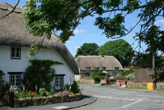
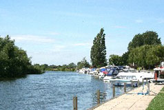
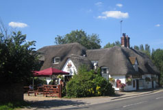
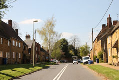
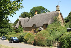
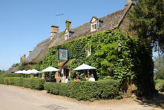
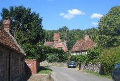
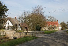
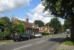
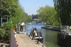
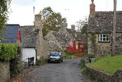
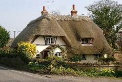
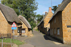
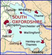
The towns of South Oxfordshire are the market towns of Thame and Wallingford, the expanding town of Didcot and attractive Henley on Thames. The River Thames and its tributary the River Thame are South Oxfordshire's main rivers.
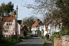
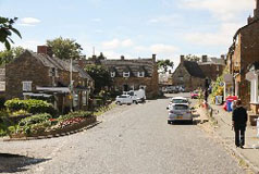
Alphabetical Listing of villages:
A
Adwell, Aston
Rowant, Aston
Upthorpe and Aston Tirrold
B
Beckley, Benson, Berinsfield, Berrick
Salome, Binfield
Heath, Bix
and the Assendons, Brightwell
Baldwin, Brightwell
cum Sotwell, Britwell
Salome, Burcot
C
Chalgrove, Checkendon, Chinnor, Chiselhampton, Cholsey, Clifton
Hampden, Cookley
Green, Crowell, Crowmarsh
Gifford, Cuddesdon, Culham, Cuxham
D
Dorchester, Drayton
St. Leonard, Dunsden Green
E
East
Hagbourne, Elsfield, Emmington, Ewelme
F
Forest Hill
G
Gallowstree
Common, Garsington, Goring, Great Haseley, Great Milton
H
Harpsden, Highmoor, Holton, Horspath
I
Ipsden
K
Kidmore
End, Kingston
Blount
L
Lewknor, Little
Milton, Little
Wittenham, Long Wittenham
M
Maidensgrove, Mapledurham, Marsh
Baldon, Moulsford
N
Nettlebed, Newington, North
Moreton, North
Stoke, Nuffield, Nuneham
Courtenay
P
Postcombe, Pyrton
R
Roke, Rotherfield Greys, Rotherfield
Peppard, Russells
Water
S
Sandford-on-Thames, Shillingford, Shiplake, Shirburn, Sonning
Common, South
Moreton, South
Stoke, South Weston, Stadhampton, Stanton St. John, Stoke
Row, Stoke Talmage, Stonor, Swyncombe, Sydenham
T
Tetsworth, Tiddington & Albury, Toot
Baldon, Towersey
W
Warborough, Waterperry, Waterstock, Watlington, West
Hagbourne, Wheatley, Whitchurch-on-Thames, Woodcote, Woodeaton |