ABOUT THE OXFORDSHIRE CHILTERNS
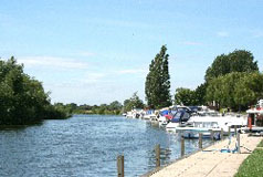
The Chiltern Hills are a chalk escarpment that stretch 47 miles from Goring and Whitchurch on the River Thames north-west to close to Hitchin in Hertfordshire. Several South Oxfordshire villages are within the Chilterns Area of Outstanding Natural Beauty. The scarp slope (the steep slope) of the Oxfordshire Chilterns is above the villages of Watlington, Lewknor and Chinnor, and from high in the hills above these villages there are panoramic views towards the Oxfordshire Plain and the distant hills. From its highest points the Chilterns fall gently south towards the Thames at Goring, Whitchurch and Mapledurham, and east also towards Henley-on-Thames. The Chilterns have been heavily wooded for hundreds of years, mainly with beechwoods, but ash, cherry and oak are also widespread. The Chilterns used to support a wide range of woodland industries including chair-making. Now though the amenity, recreation and wildlife value of the woods are equally important. Unfortunately the beech woods are aging and there is little replanting, perhaps because of the decline in the chair-making industry. Where the landscape is not wooded agriculture makes a major contribution to the appearance of the Chilterns landscape. Agriculture accounts for about 75% of the total area of the AONB and much of the area is devoted to arable crops. On much of the steep scarp slope however there is grazing and increasingly nowadays that means sheep rather than cattle. In many parts of the scarp slope bushes and trees have colonised and changed the appearance of the landscape. Chalk streams are an attractive feature of the Chilterns and are an important habitat for wildlife and they support a massive range of plants and animals. Globally chalk streams are rare, there being only 200 or so in the world. Interestingly over 160 of these streams are to be found in England!
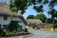
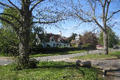
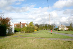
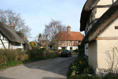
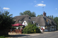
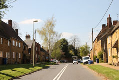
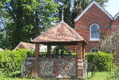
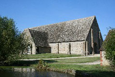
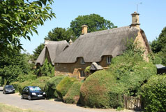
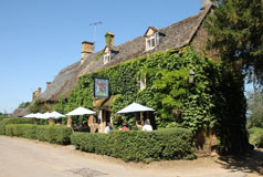
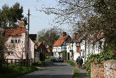
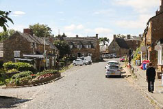
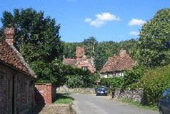
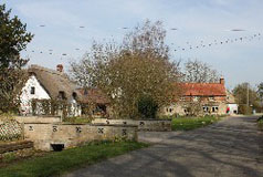
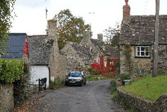
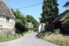
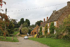
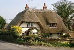
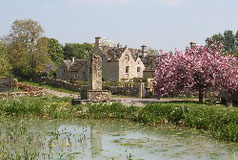
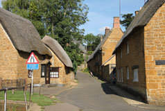
The use of local materials in older buildings give Chilterns villages a distinctive character. Bricks and tiles were produced from clay dug out of the fields and woods. Flint was quarried from the chalk of the hills and the overlying clay. It was frequently used in walls and many cottages and churches built with flints can be found all over the area. Some of Oxfordshire's Chilterns villages are right in the hills whereas others are along the base of the scarp slope in the west or beside the Thames. So for convenience the Chilterns villages have been categorised as being either in the hills, along the foot of the scarp slope, or beside the Thames. |
 Wherever you are in the Chilterns and many of the surrounding areas you are likely to see (and hear) red kites. By the end of the nineteenth century red kites were persecuted to extinction in England although a small population survived in Wales. However between 1989 and 1994 the RSPB and English Nature (now Natural England) imported and released red kites from Spain into the Chilterns and now they are widespread again over much of Oxfordshire and beyond. The kites started breeding in the Chilterns in 1992 and it is thought that there could now be over 600 breeding pairs in the area. Chicks have now been taken from the Chilterns to reintroduction sites in other parts of the country.