VILLAGES AT THE FOOT OF THE OXFORDSHIRE CHILTERNS
This is a list of the Oxfordshire villages that are along the foot of the scarp slope of the Chilterns: |
|
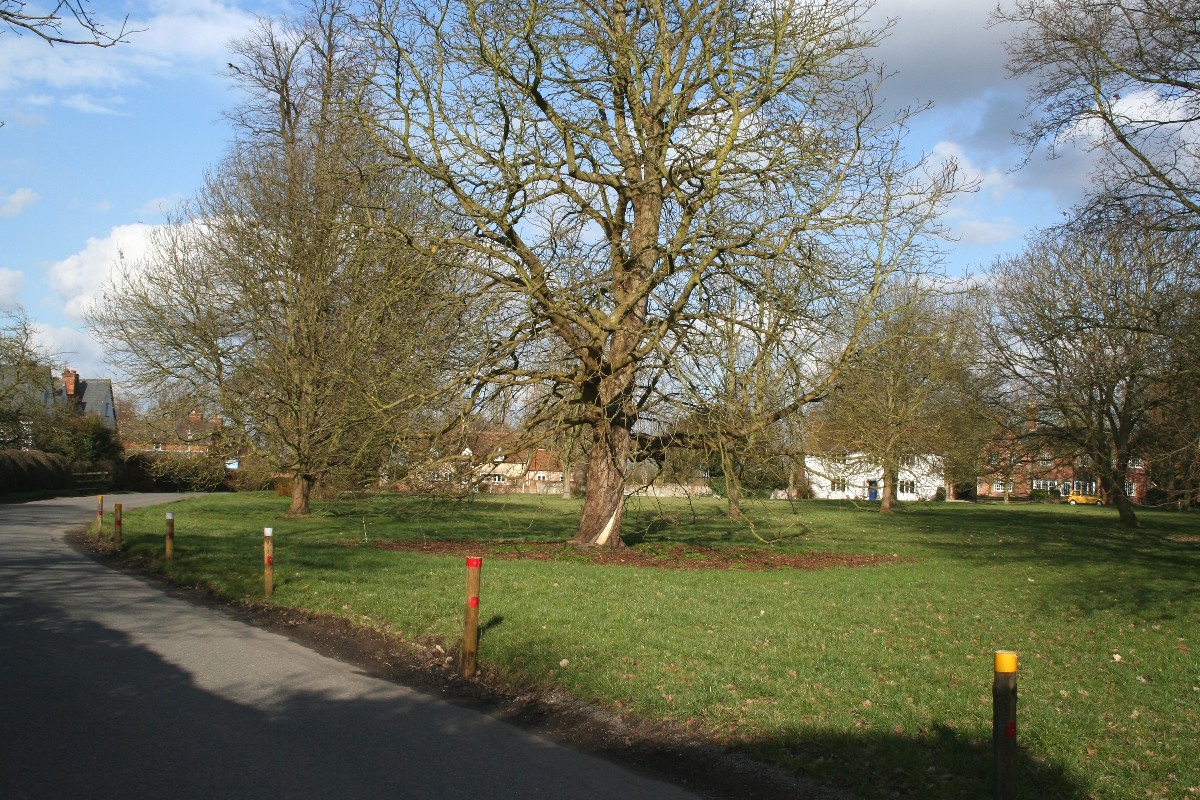
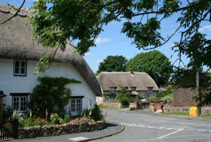
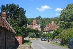
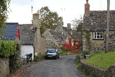
The 12th century church of St Peter and St Paul is in the oldest part of the village. The church is surrounded by trees and in spring daffodils and blossom make the bank of the churchyard a pretty sight. The road winds through the village towards the village green. The green is dotted with trees and also has attractive daffodils in the spring. Around the green is a farmhouse and cottages, which were mainly built in the 18th and 19th centuries. |
|
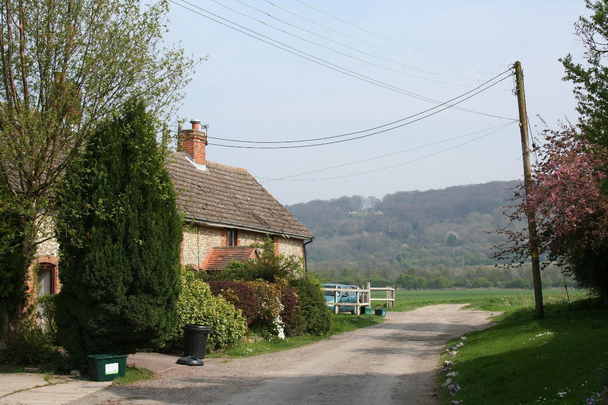
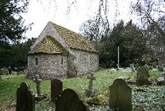
To the north-east of the village, next to the site of Britwell Priory and down a short lane, is the parish church of St. Nicholas which dates from the 13th century. On the site of Britwell Priory there is now an C18 farmhouse. Adjacent to the church is the Old Rectory which dates from the 17th century. |
|
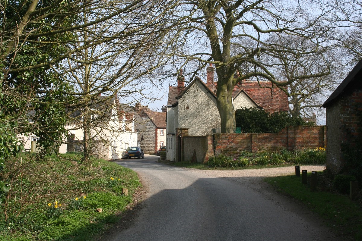
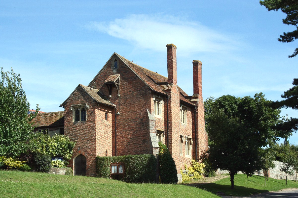
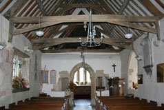
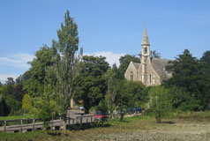
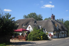
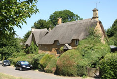
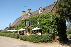
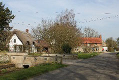
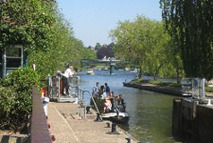
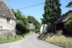
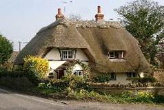
The Ewelme Brook was at one time used extensively for the cultivation of water cress. However during the last quarter of the 1900s, regulations prevented the sale of watercress from Ewelme and this, together with greater competition from other areas and countries, led to the industry's demise and production ceased in 1988. The Ewelme water cress beds are now owned and managed by the Chiltern Society as a local nature reserve. They run the whole length of the village and are accessible from the road in places. In the centre of the village is the source of the Ewelme Brook and an attractive pond. Beside this a small development of late 20th century houses blends almost perfectly with the older village properties in the High Street. At the west end of the village on slightly higher ground is the large and attractive parish church of St. Mary the Virgin. From the west door of the church is a covered passage that leads to the Cloister - a square courtyard surrounded by thirteen red brick almshouses which were established in 1437. The almshouses are the oldest brick buildings in this part of the country. Next to the Cloister is Ewelme school which was founded originally as a superior grammar school. Now the school is a state primary school and is the oldest school building in the country still in use as a state primary school. |
|
Industries based in and around Chinnor have included lacemaking, chair-making and agriculture and, until 1999, a cement works whose tall chimney was a well-known local landmark. High above the village on Chinnor Hill is Chinnor Hill Nature Reserve which is run by the Berkshire, Buckinghamshire and Oxfordshire Wildlife Trust. Chinnor is the terminus of the Chinnor & Princes Risborough Railway, which was part of the old Great Western Railway line between Watlington and Princes Risborough but was closed to passengers by BR in 1957. The section between Chinnor and Princes Risborough then carried a freight-only service until 1990 but is now a heritage line. |
|
|
|
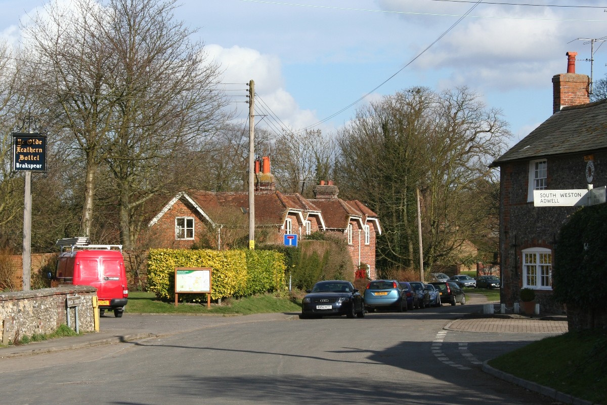
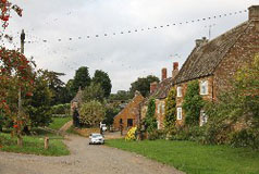
In the 19th century Kingston Blount had a number of pubs, a draper, grocers, wine merchants, a smithy, corn merchant, butcher, baker, post office and a school and was considered to be a large and respectable town. Now, like in many villages, the shops have all closed and there now remains just one pub. |
|
Many of the cottages in Lewknor are built using flints and some of the newer construction has been sympathetically built in a similar style using the same materials. At the centre of the village is the remnant of Town Pond which at one time was used for watercress growing. The cress was sent to London by train from the nearby halt on the Watlington to Princes Risborough branch line (now no longer there). |
|
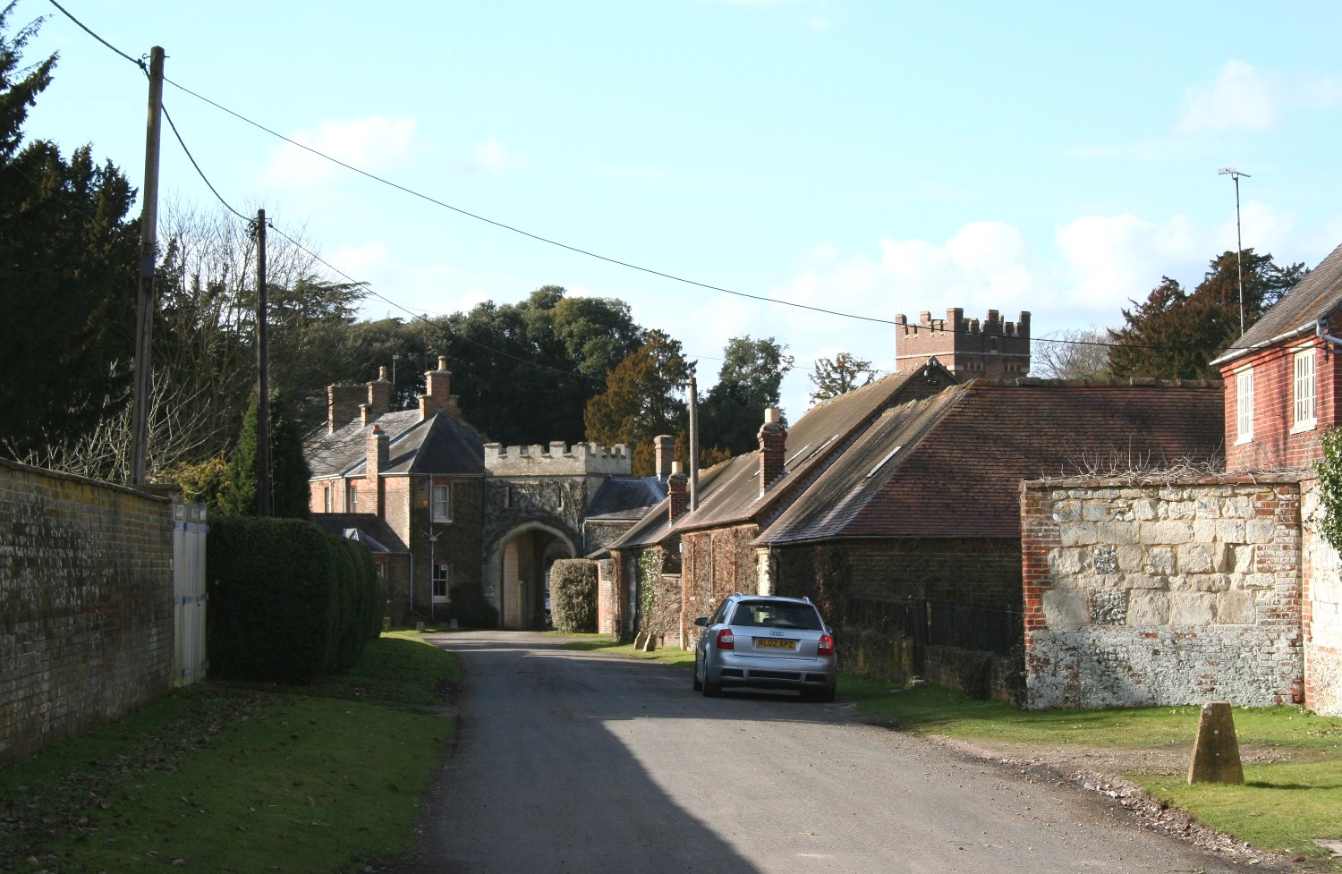
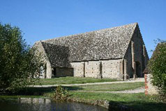
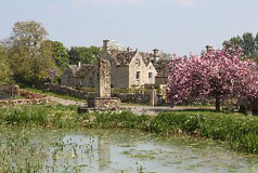
The main interest in this village is Shirburn castle, a fortified manor house built in 1378 with four towers and a gatehouse and surrounded by a moat. Unfortunately the castle is now empty and in need of substantial repair. |
|
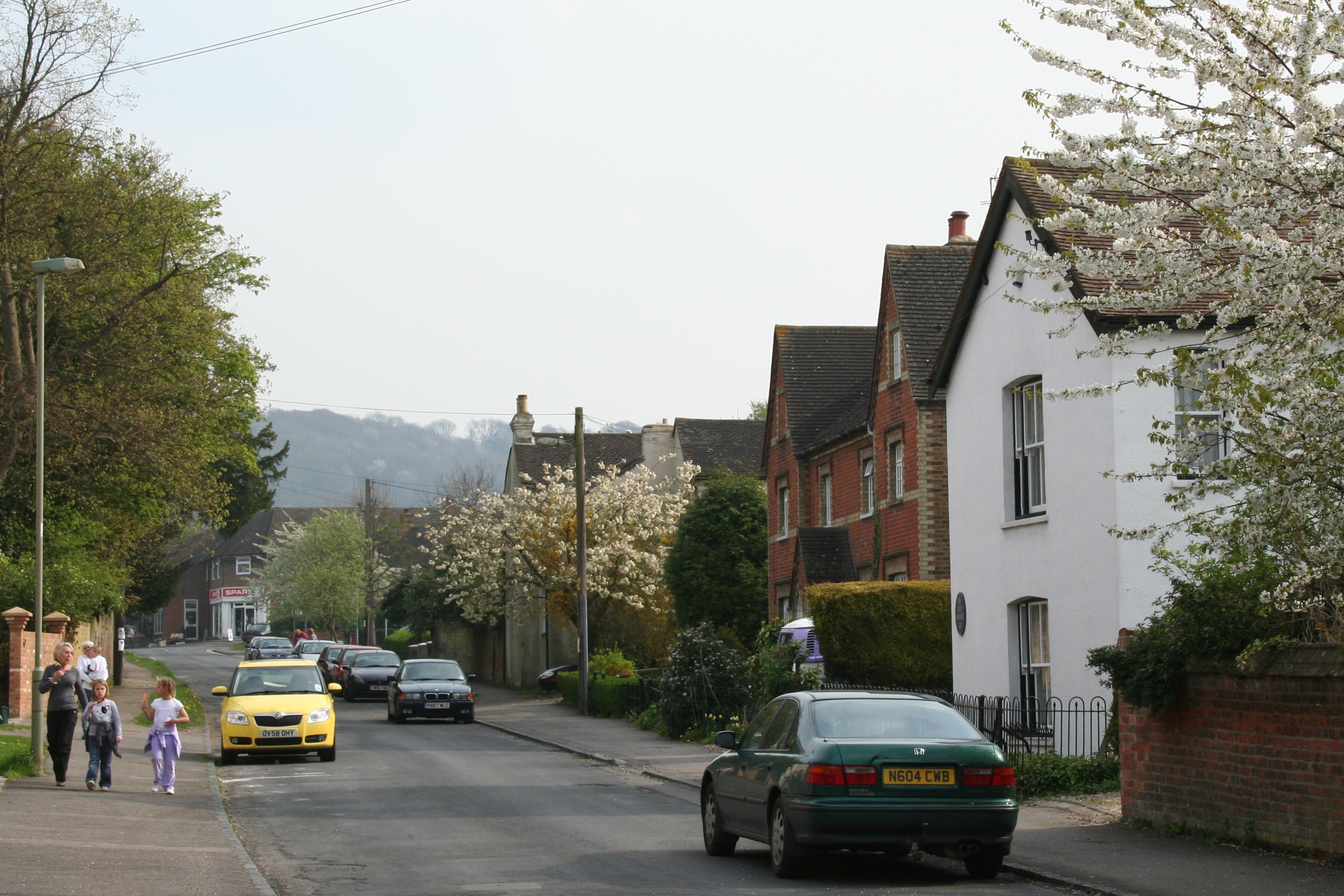
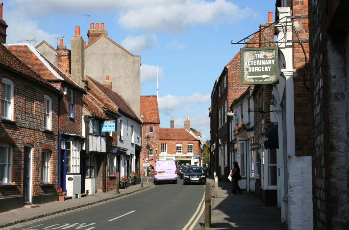
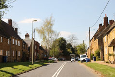
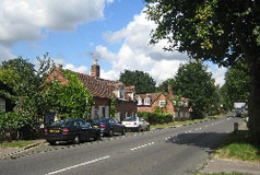
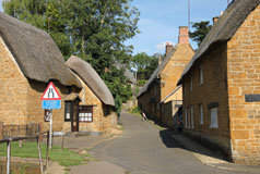
The village's position at the foot of the Chilterns and on the edge of the Vale of Oxford adds to its character, for here we start to see some Chilterns-style flint buildings as well as timber framed and thatched cottages although most of the buildings are built of brick. With its fine selection of small shops, the dominating 17th century town hall and many historic buildings dating back to that period, and before, in all Watlington is a very attractive village. Unfortunately though, Watlington's narrow streets were just not designed to cope with modern traffic, hence it has to suffer an awful lot of congestion. High on the scarp slope above the village is Watlington Hill Nature Reserve which is owned by the National Trust. |