This is a list of the Oxfordshire villages that are right in the Chiltern Hills
|
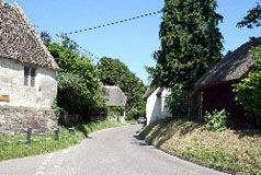
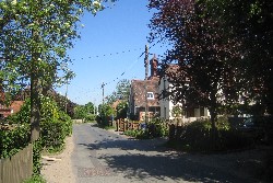
The Assendons
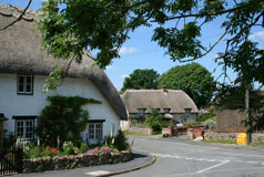
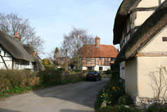
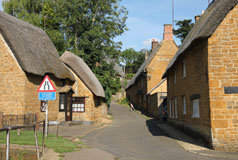
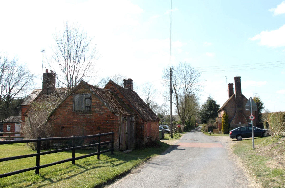
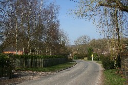
 The hamlets of Lower and Middle Assendon are in the low-lying
Stonor Valley on the B480 which leads to Watlington. Lower
Assendon, in particular, has some attractive old cottages.
The names were first recorded in 800 AD as Assundene which
was thought to derive from the Saxon word "denu", meaning
a long, narrow, winding valley, and "assa", meaning an
ass; together this was translated as the Valley of the
Wild Ass. Assundene changed to Afsington and then to Assendene.
This was the name of the hamlets until the early 20th
century, when the modern name of Assendon came into use. The hamlets of Lower and Middle Assendon are in the low-lying
Stonor Valley on the B480 which leads to Watlington. Lower
Assendon, in particular, has some attractive old cottages.
The names were first recorded in 800 AD as Assundene which
was thought to derive from the Saxon word "denu", meaning
a long, narrow, winding valley, and "assa", meaning an
ass; together this was translated as the Valley of the
Wild Ass. Assundene changed to Afsington and then to Assendene.
This was the name of the hamlets until the early 20th
century, when the modern name of Assendon came into use.
Find The Assendons on the Ordnance Survey map |
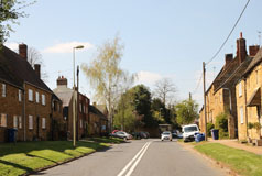
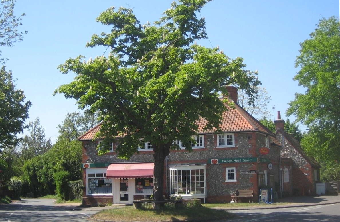
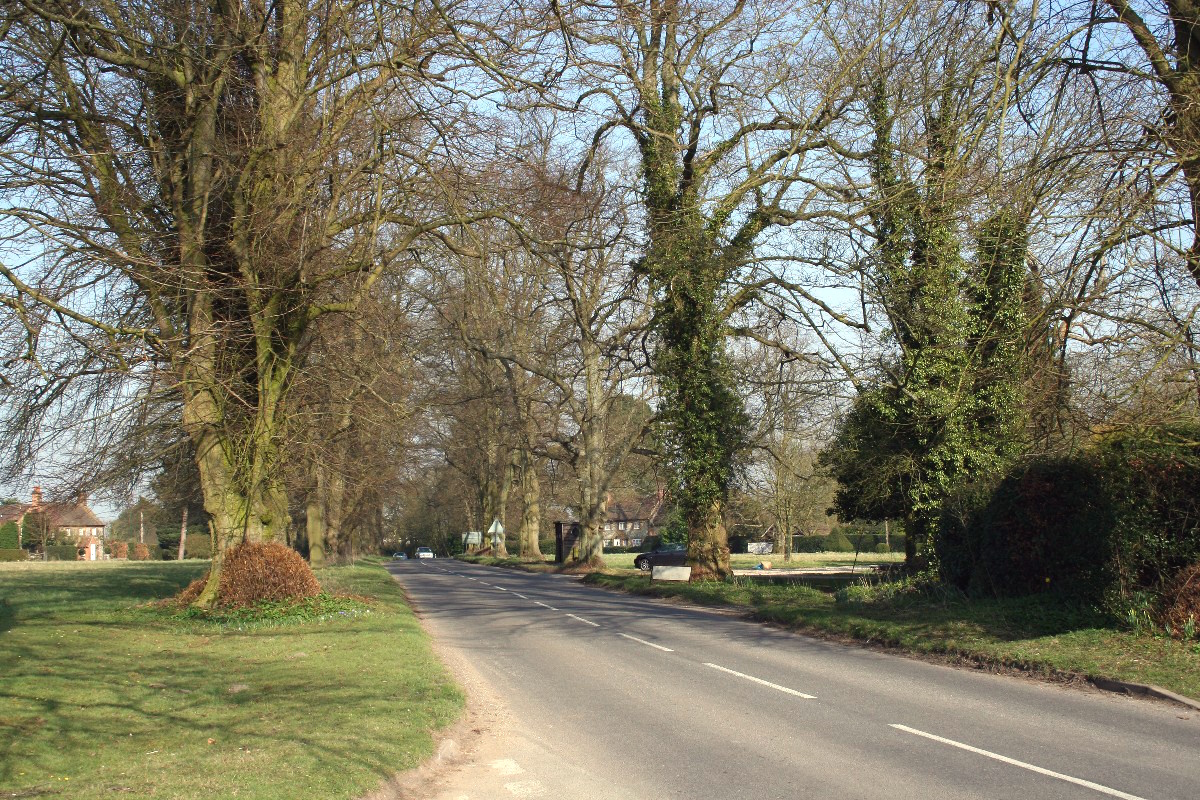
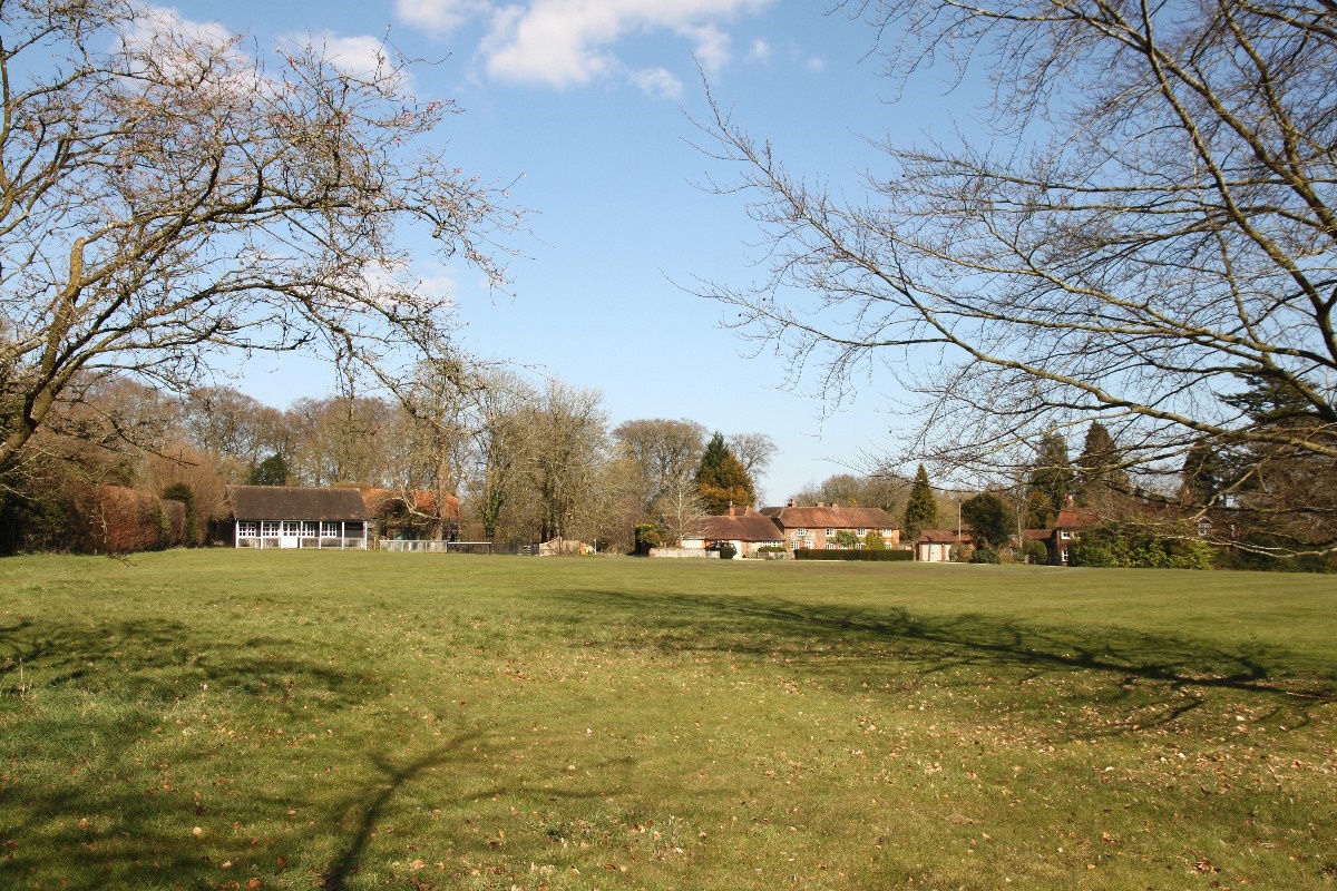
Binfield Heath
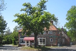 Binfield
Heath is midway between Henley-on-Thames
and Caversham, just over a mile from the River Thames almost
on the county boundary. Most of the houses are near the two village shops and
recreation ground. Prominently at the centre of the crossroads is
a fine chestnut tree, which has always been a well known local rendezvous. Binfield
Heath is midway between Henley-on-Thames
and Caversham, just over a mile from the River Thames almost
on the county boundary. Most of the houses are near the two village shops and
recreation ground. Prominently at the centre of the crossroads is
a fine chestnut tree, which has always been a well known local rendezvous.
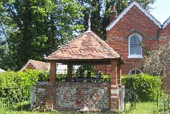
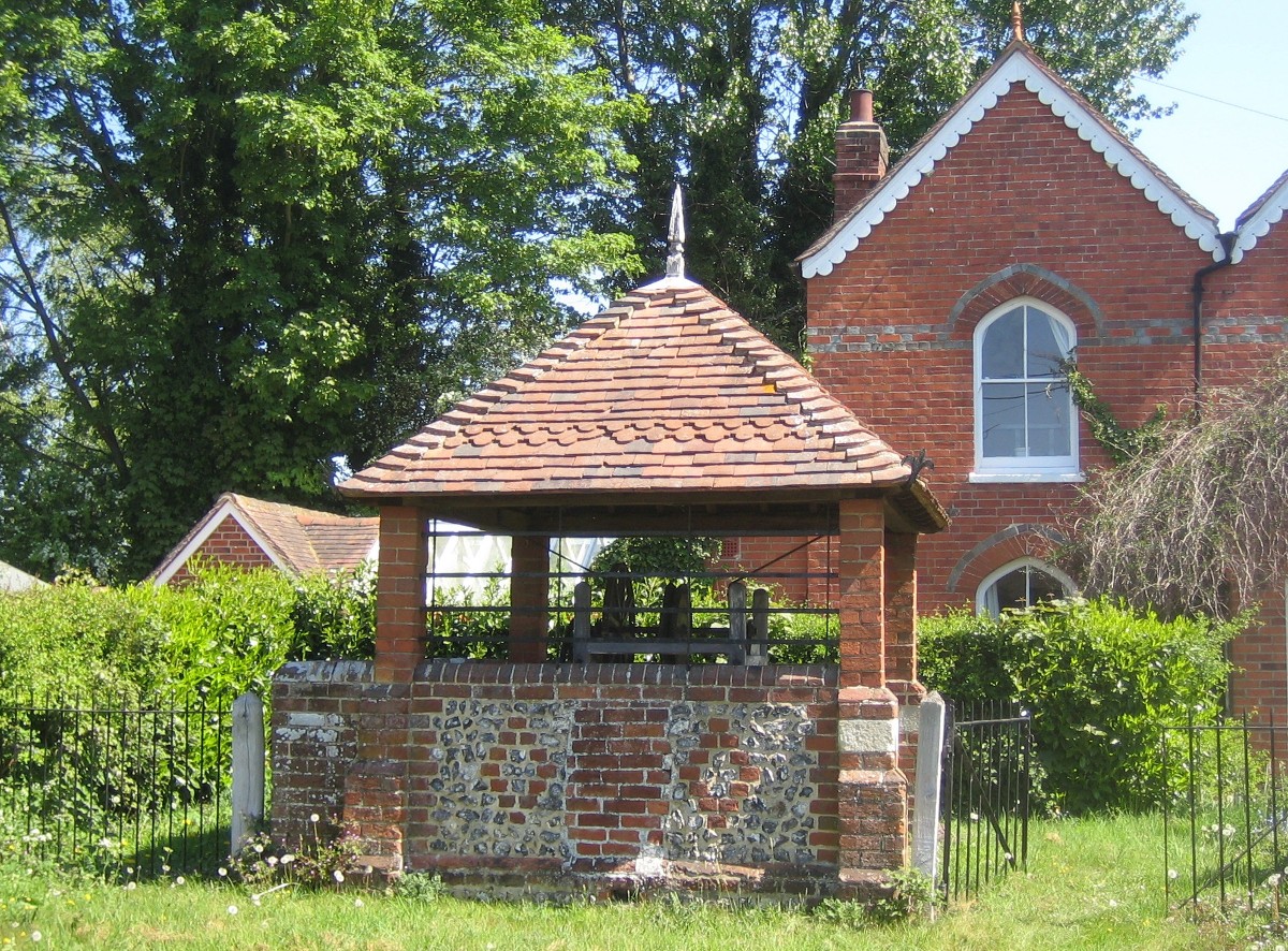
An interesting feature of Binfield Heath is an unusual
covered well, called Keeps Well. This has recently been
completely rebuilt exactly as before as the original was
completely demolished a few years ago in a motoring accident.
Next to the well one of the village ponds has been restored too and this is known as Green Pond.
This area of the village was formerly known as Shiplake
Common.
Find Binfield Heath on the Ordnance Survey map |
Bix
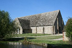
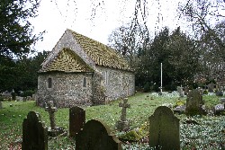
 Byxe Brand was a Saxon settlement situated in the area
around the ruins of the ancient parish church of St James
at Bix Bottom, now a delightfully quiet area well off
the beaten track along a road which leads to the Warburg
Nature Reserve. The church was originally a tiny Norman
Church and was built
on a Saxon site. The ruins of the old church can still
be seen and remain as consecrated grounds. Byxe Brand was a Saxon settlement situated in the area
around the ruins of the ancient parish church of St James
at Bix Bottom, now a delightfully quiet area well off
the beaten track along a road which leads to the Warburg
Nature Reserve. The church was originally a tiny Norman
Church and was built
on a Saxon site. The ruins of the old church can still
be seen and remain as consecrated grounds.
The small village of 'modern' Bix is just off the busy A4130
trunk road between Henley-on-Thames and Wallingford and
is close to the location of Saxon settlements known as Byxe/Bixa Gibwin/Gibwyn. There
appears now to be little evidence of historic Bix and
the village now comprises mainly up-market houses spread around
three sides of an open grassed common and out along the
roads to Lower and Middle Assendon. The 'new' parish church
of St James was built in the centre of the village in
1875.
An
interesting feature in the village is a restored victorian brick-lined
open water tank which was constructed c.1895.
Find Bix on the Ordnance Survey map |
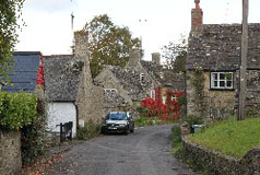
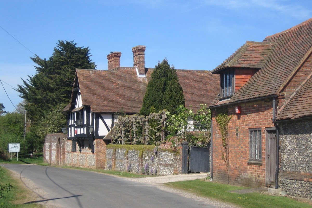
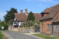
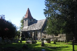
Checkendon
 Checkendon
is a pleasant rambling Chilterns village between Woodcote and Stoke Row, north of the
A4074 between Wallingford and Reading. It is surrounded
by beech woods, with bluebells in the spring, and the
rich colour of the autumn leaves. The older part of the
village is centred around the Church
of St. Peter and St. Paul. The area around Checkendon
Court and St. Peter's and St. Paul's Church is a conservation
area. Checkendon
is a pleasant rambling Chilterns village between Woodcote and Stoke Row, north of the
A4074 between Wallingford and Reading. It is surrounded
by beech woods, with bluebells in the spring, and the
rich colour of the autumn leaves. The older part of the
village is centred around the Church
of St. Peter and St. Paul. The area around Checkendon
Court and St. Peter's and St. Paul's Church is a conservation
area.
Find Checkendon on the Ordnance Survey map |
Cookley Green
 The
hamlet of Cookley Green is high in the Chilterns about
half way between Nettlebed and Watlington along the
B481. There are only a score or so of attractive houses
and cottages but they are set neatly around a small green with the
main road running through the centre. The road is lined
on both sides by attractive, mature trees and the overall
effect is very pleasing! The
hamlet of Cookley Green is high in the Chilterns about
half way between Nettlebed and Watlington along the
B481. There are only a score or so of attractive houses
and cottages but they are set neatly around a small green with the
main road running through the centre. The road is lined
on both sides by attractive, mature trees and the overall
effect is very pleasing!
Find Cookley Green on the Ordnance Survey map |
Gallowstree Common
 Gallowstree Common is named after on oak tree in the village that was used, as its name
implies, as a gallows. It is thought that the last hanging
was in 1825 for sheep stealing. The tree no longer stands
and its stump was removed at the time of the village enclosure. Gallowstree Common is named after on oak tree in the village that was used, as its name
implies, as a gallows. It is thought that the last hanging
was in 1825 for sheep stealing. The tree no longer stands
and its stump was removed at the time of the village enclosure.
Gallowstree Common has an interesting well. The wellhouse
has low red brick and flint-panelled
walls and is a listed building. One side of the wellhouse is completely open for
access to the well and its iron winding gear.
Find Gallowstree Common on the Ordnance Survey map
|
Harpsden
 The
village of Harpsden is a mile or so south
of Henley-on-Thames and a mile and a half from the River
Thames and the county boundary. As well as the small village of Harpsden the parish includes several nearby hamlets
including Harpsden Bottom. Between and to the south of
Harpsden and Harpsden Bottom is an area of open-access
woodland known as Harpsden Woods. The
village of Harpsden is a mile or so south
of Henley-on-Thames and a mile and a half from the River
Thames and the county boundary. As well as the small village of Harpsden the parish includes several nearby hamlets
including Harpsden Bottom. Between and to the south of
Harpsden and Harpsden Bottom is an area of open-access
woodland known as Harpsden Woods.
Find Harpsden on the Ordnance Survey map |
Highmoor
 Highmoor is a small village on the B481 about a mile south of Nettlebed and about 4 miles west of Henley-on-Thames. Highmoor consists of a few large houses which are sited away from the road, but most of the village is centred on Highmoor Cross, about half a mile to the south of Highmoor, where there aremore houses and cottages and also the village church, St. Paul's, which was built in 1859 as a chapel of ease. St. Paul's Church is now closed and has been declared redundant. Highmoor is a small village on the B481 about a mile south of Nettlebed and about 4 miles west of Henley-on-Thames. Highmoor consists of a few large houses which are sited away from the road, but most of the village is centred on Highmoor Cross, about half a mile to the south of Highmoor, where there aremore houses and cottages and also the village church, St. Paul's, which was built in 1859 as a chapel of ease. St. Paul's Church is now closed and has been declared redundant.
Find Highmoor on the Ordnance Survey map |
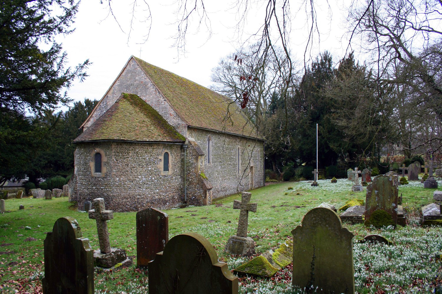
Ipsden
 Ipsden is a small village with a few isolated groups of older houses and cottages in a small valley in the open countryside of the western Chiltern Hills roughly half way between Reading and Oxford. A small 20th century estate runs down the hillside towards the village centre which is probably around the village store. Ipsden is a small village with a few isolated groups of older houses and cottages in a small valley in the open countryside of the western Chiltern Hills roughly half way between Reading and Oxford. A small 20th century estate runs down the hillside towards the village centre which is probably around the village store.
The medieval village church is about a quarter of a mile to the north of the village. It is thought to have originally been an upland chapel for the adjoining parish of North Stoke and was enlarged and repaired in the 12th century using stone from an earlier church.
Outside the church is a well that was presented to the community in 1865 by Rajah Sir Deonarayun Singh, K.C.S.I., who followed the example of the Maharajah of Benares who presented a well to the nearby village of Stoke Row.
Find Ipsden on the Ordnance Survey map |
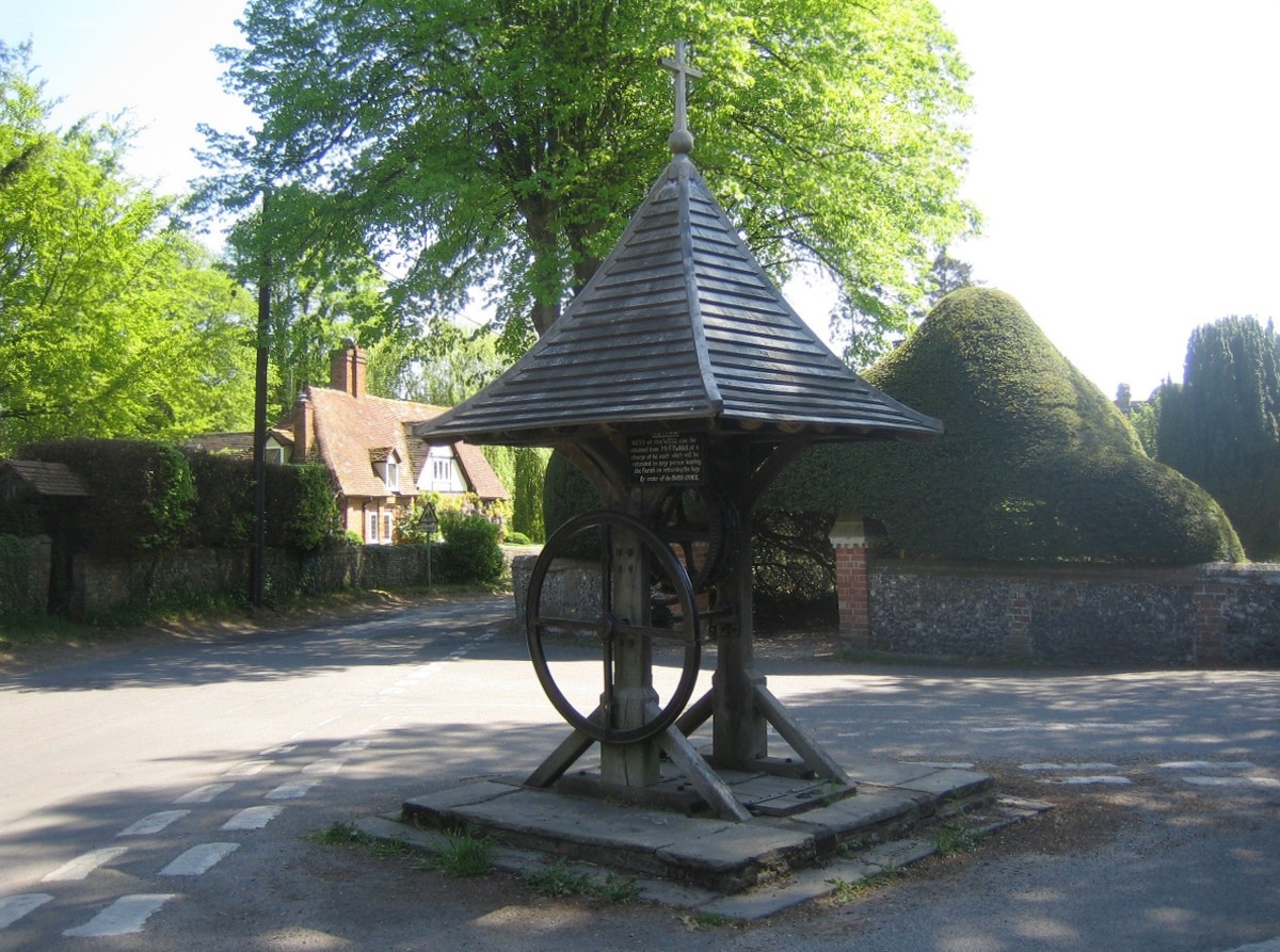
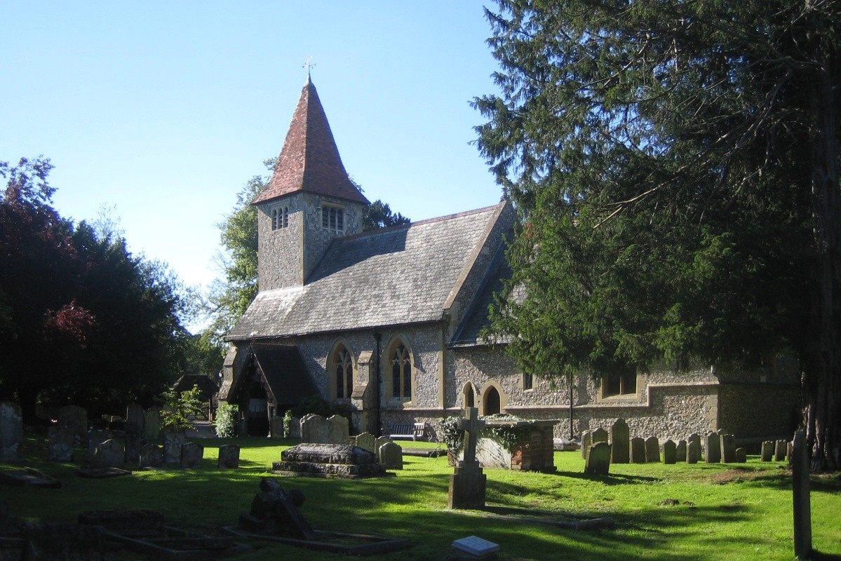
Kidmore End
 Kidmore End is a pleasant village with most of its houses
grouped around the church and the crossroads. The parish
church is the Church of St. John The Baptist - a Victorian
church with a high dome above the alter. In the graveyard
are the obligatory yews, and here they are magnificant.
Those over the gateway in particular! Adjacent to the
church is the village school, which was established in
1862. Kidmore End is a pleasant village with most of its houses
grouped around the church and the crossroads. The parish
church is the Church of St. John The Baptist - a Victorian
church with a high dome above the alter. In the graveyard
are the obligatory yews, and here they are magnificant.
Those over the gateway in particular! Adjacent to the
church is the village school, which was established in
1862.
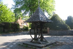
A landmark in the village is the late C19 well with its
pyramidal wood shingle roof standing in the centre of
the road junction outside the church. Although it is no
longer used it is in extremely good condition having more than once in its lifetime been
saved from demolition.
Find Kidmore End on the Ordnance Survey map |
Maidensgrove
 Maidensgrove is a small hamlet which lies along a narrow lane between the hamlets of Russell's Water and Stonor, on the edge of the
large area of common land known as Russell's Water and
Maidensgrove Common. You could easily miss the hamlet as the houses of Maidensgrove are all away from the road, mostly along
a narrow winding lane which ends eventually at a farm
and an entrance to the Warburg
Nature Reserve. Maidensgrove is a small hamlet which lies along a narrow lane between the hamlets of Russell's Water and Stonor, on the edge of the
large area of common land known as Russell's Water and
Maidensgrove Common. You could easily miss the hamlet as the houses of Maidensgrove are all away from the road, mostly along
a narrow winding lane which ends eventually at a farm
and an entrance to the Warburg
Nature Reserve.
Find Maidensgrove on the Ordnance Survey map
|
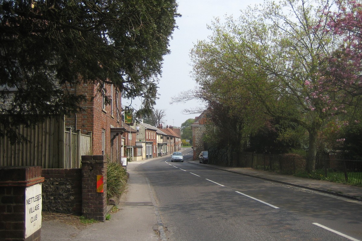
Nettlebed
 Nettlebed
is in attractive wooded countryside on high land on the A4130 between
Wallingford and Henley-on-Thames. The village is surrounded by large
areas of common land and is the highest in the South Chilterns. Nettlebed
is in attractive wooded countryside on high land on the A4130 between
Wallingford and Henley-on-Thames. The village is surrounded by large
areas of common land and is the highest in the South Chilterns.
Clay suitable for pottery and brick making was found locally
and, as a result, Nettlebed was the most important brick
and tile making centre in the Chilterns from the mid-14th
century onwards. A disused lime kiln is prominent in the
centre of the village which was in use until 1938 and
was restored in 1972-4.
Find Nettlebed on the Ordnance Survey map |
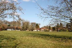
Nuffield
 Nuffield is a small village half a mile south of the A4130
Wallingford to Henly road, about two miles west of Nettlebed in the heart of the Oxfordshire Chilterns. The village
has an attractive common which is home to a golf club. Nuffield is a small village half a mile south of the A4130
Wallingford to Henly road, about two miles west of Nettlebed in the heart of the Oxfordshire Chilterns. The village
has an attractive common which is home to a golf club.
On
the north side of the main road, opposite the golf course, is Nuffield
Place, the
former home of William Morris, Lord Nuffield. Built
in 1914, Nuffield Place is a good example of a
complete, upper-middle class home of the 1930s. It contains
an interesting collection of Nuffield memorabilia and
is furnished and equipped precisely as it was when Lord
Nuffield died in 1963.
Find Nuffield on the Ordnance Survey map |
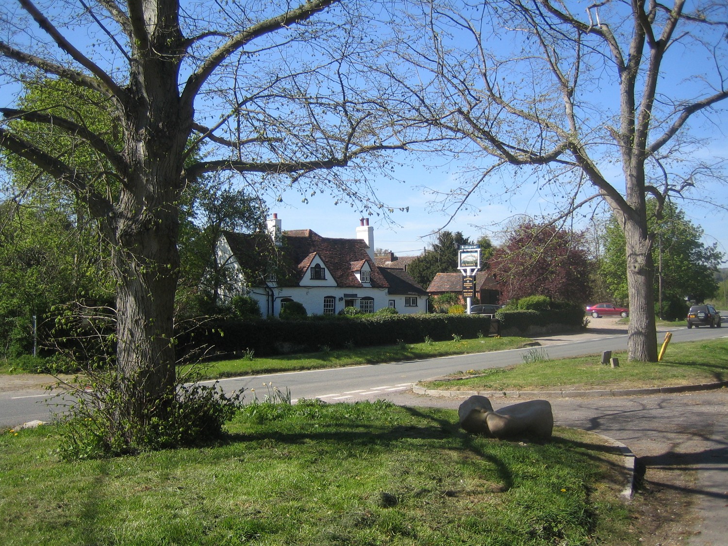
Rotherfield Greys
 Rotherfield Greys is a small village about 2 miles west of Henly-on-Thames and a mile or so east of Rotherfield Peppard. The village has a heavily restored Norman village church. The little housing the village has is near the church and the village pub. Nearby is the attractive Greys Green with its cricket pavilion and the village hall and where the wide grass verges to the road are lined with trees. Rotherfield Greys is a small village about 2 miles west of Henly-on-Thames and a mile or so east of Rotherfield Peppard. The village has a heavily restored Norman village church. The little housing the village has is near the church and the village pub. Nearby is the attractive Greys Green with its cricket pavilion and the village hall and where the wide grass verges to the road are lined with trees.
Half a mile from Greys Green is Shepherd's Green with its large and attractive houses circled around the village green.
Find Rotherfield Greys on the Ordnance Survey map |
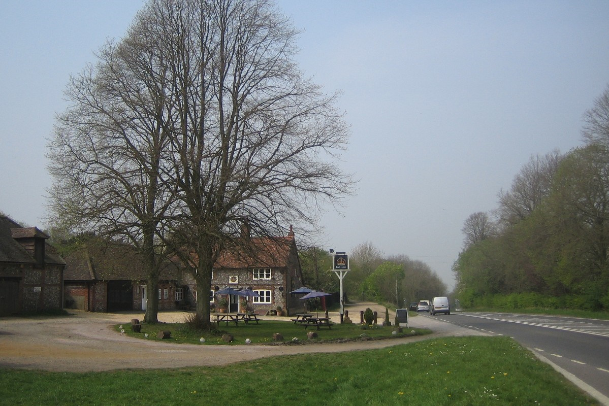
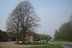
Rotherfield Peppard
 Rotherfield
Peppard (known also just as 'Peppard') is just north of Sonning
Common on the B481 road which links Caversham and Nettlebed. It is situated
on an old overland pack route from Henley to Goring which can still be traced, partly on footpaths and partly
on modern roads. The pack route is thought to be the origin
of pub names such as the Pack Horse and the Pack Saddle
which, although not in the village, are not far away. Rotherfield
Peppard (known also just as 'Peppard') is just north of Sonning
Common on the B481 road which links Caversham and Nettlebed. It is situated
on an old overland pack route from Henley to Goring which can still be traced, partly on footpaths and partly
on modern roads. The pack route is thought to be the origin
of pub names such as the Pack Horse and the Pack Saddle
which, although not in the village, are not far away.
In
the centre of the village is Peppard Common and the village
spreads out around two-and-a-bit sides of the common, with
the main road passing through the middle. All Saints' Church
is at the end of a residential lane leading from the common. There is
also a primary school in the centre of the village.
Find Rotherfield Peppard on the Ordnance Survey map |
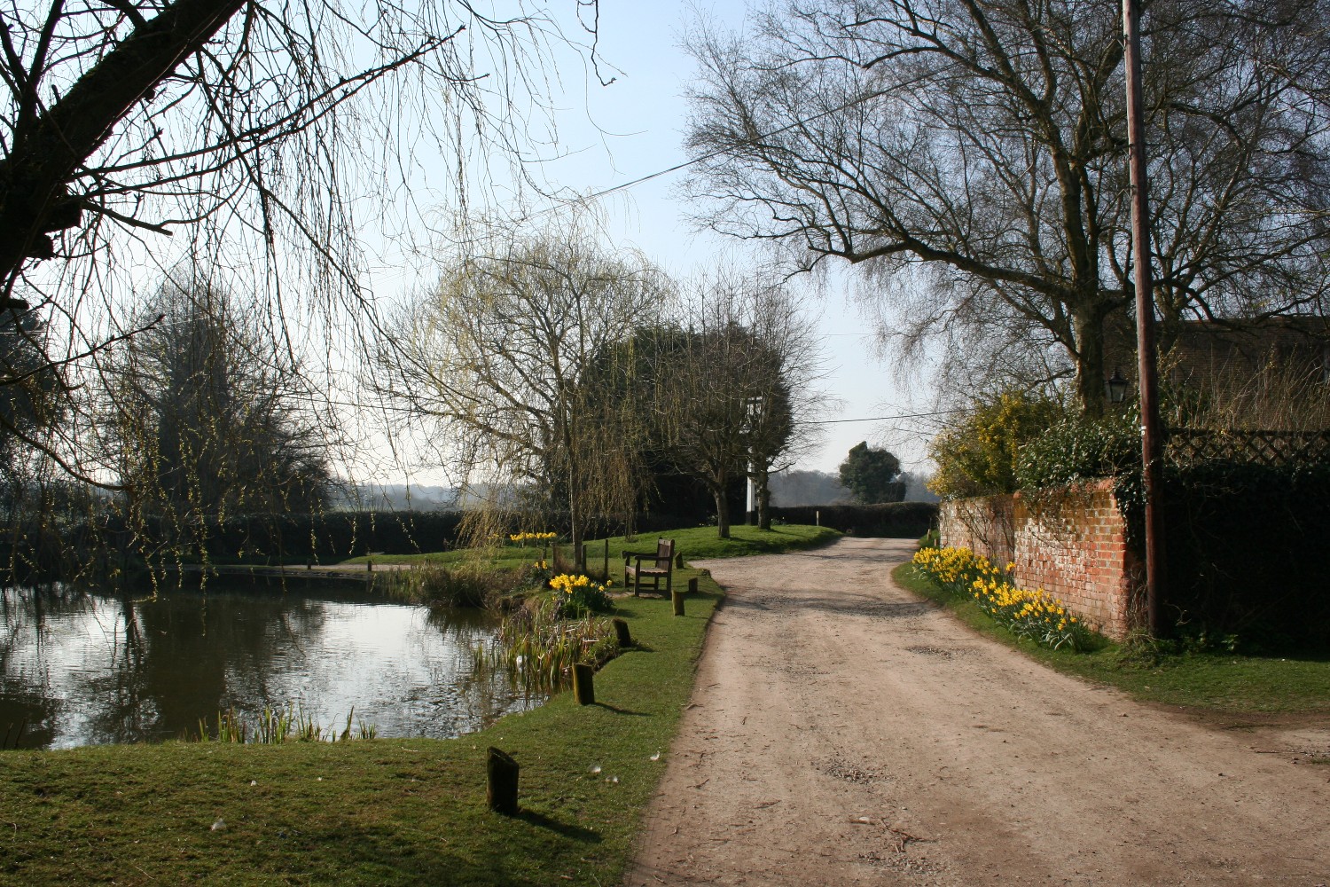
Russell's Water
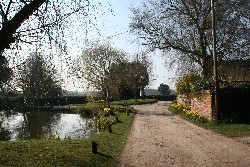 A
large pond, complete with ducks, gives the hamlet of Russell's
Water its particular character, and is quite unusual for
a village so high in the Chilterns. Russell's Water
is on the edge of the large area of common land known as Russell's Water and Maidensgrove
Common. A
large pond, complete with ducks, gives the hamlet of Russell's
Water its particular character, and is quite unusual for
a village so high in the Chilterns. Russell's Water
is on the edge of the large area of common land known as Russell's Water and Maidensgrove
Common.
Find Russell's Water on the Ordnance Survey map |
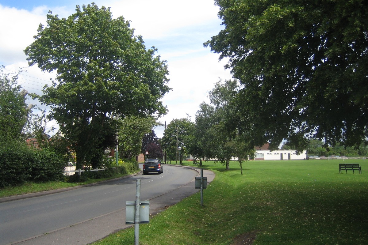
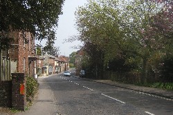
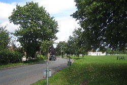
Sonning Common
 Sonning
Common is a large village on the B481 road between Reading
to the south and Nettlebed to the north. Once it was apparently a community of scattered
cottages, farms and beerhouses. Local pastures were used
for grazing and pigs were allowed to feed on beech mast
in the woods. Sonning
Common is a large village on the B481 road between Reading
to the south and Nettlebed to the north. Once it was apparently a community of scattered
cottages, farms and beerhouses. Local pastures were used
for grazing and pigs were allowed to feed on beech mast
in the woods.
The settlement was originally mainly on the road that leads to Kidmore
End. However in the first half of the last century housing
began to spread southwards along the road towards Caversham
with the result that now Sonning Common is a dormitory village.
Find Sonning Common on the Ordnance Survey map |
Stoke Row
 Stoke
Row is at one of the highest points of the southern Chiltern hills
between the Wallingford to Reading and the Wallingford
to Henley roads, about 3 miles NW of Sonning
Common. Stoke
Row is at one of the highest points of the southern Chiltern hills
between the Wallingford to Reading and the Wallingford
to Henley roads, about 3 miles NW of Sonning
Common.
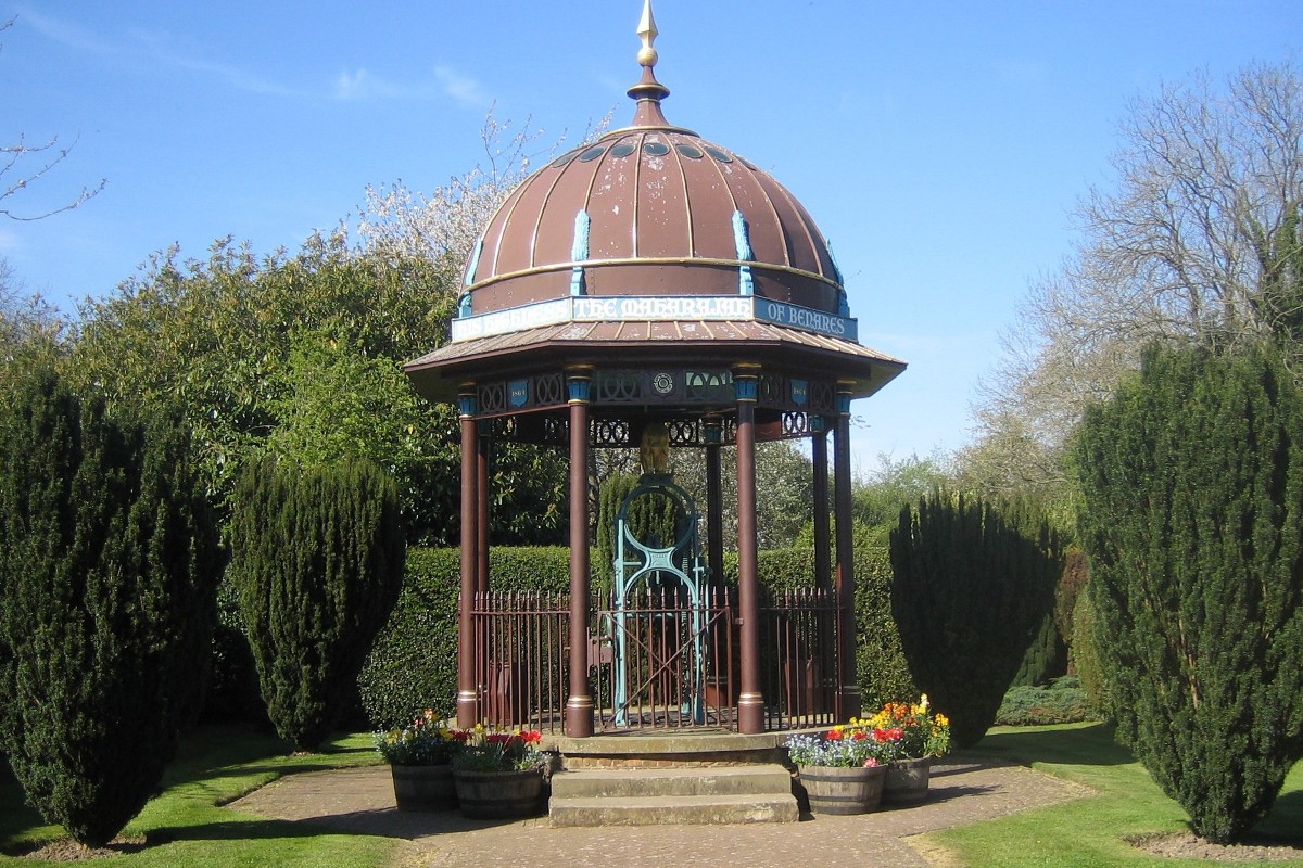
In
the centre is a village store and a garage and an attractive
Indian-style well and a cherry orchard. The 365 feet deep
well is known as the Maharaja's Well and was dug in the
C19 entirely by hand as a gift from the Maharajah of Benares
due to his friendship with a prominent local landowner.
Find Stoke Row on the Ordnance Survey map |
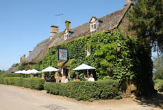
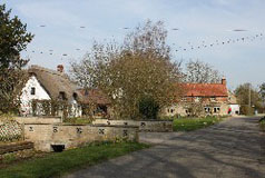
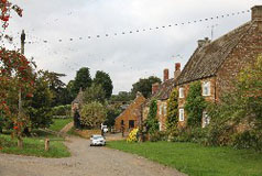
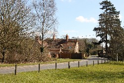
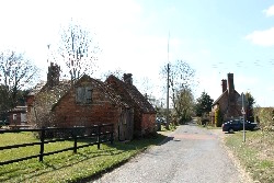
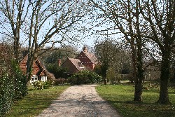
Stonor
 Stonor is a small community consisting of just a few houses
and cottages and a farm and which spreads for a short distance along a typical Chilterns valley on a road from Henly-on-Thames towards Watlington, passing
through Lower and
Middle Assendon on the way. Stonor is a small community consisting of just a few houses
and cottages and a farm and which spreads for a short distance along a typical Chilterns valley on a road from Henly-on-Thames towards Watlington, passing
through Lower and
Middle Assendon on the way.
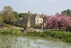
Overlooking
the hamlet is Stonor
Park, a landscaped deer park, and Stonor House which
has been the home of the Stonor family for more than eight
centuries. The
earliest part of the house dates from the 12th century,
whilst most of the house was built in the 14th century.
Find Stonor on the Ordnance Survey map |
Swyncombe
 The Swyncombe
settlement, which comprises Swyncombe House and its cluster
of farm and other estate buildings, dates from at least Saxon times and in its
secluded valley the Manor, church and farm formed an enclosed
medieval community. The present
manor house at Swyncombe is a 19th-century rebuild of
a fine Elizabethan house but the manor of Swyncombe was originally
part of the manor of Ewelme and there has been a manor
house here for hundreds of years. The Swyncombe
settlement, which comprises Swyncombe House and its cluster
of farm and other estate buildings, dates from at least Saxon times and in its
secluded valley the Manor, church and farm formed an enclosed
medieval community. The present
manor house at Swyncombe is a 19th-century rebuild of
a fine Elizabethan house but the manor of Swyncombe was originally
part of the manor of Ewelme and there has been a manor
house here for hundreds of years.
The
small Norman Church of St Botolph, which was probably constructed
in the 11th century, is of flint and stone and has been largely
untouched over the centuries. It has traces of early wall-paintings which
include some thought to have been painted by medieval
knights leaving for the Crusades. February sees masses
of snowdrops and aconites which are planted in drifts
around the church and people come from miles around each
year to see the display.
Find Swyncombe on the Ordnance Survey map |
Woodcote
 Woodcote
is at one of the highest points in the South Chilterns. It
is a large, some would say rather characterless, South
Chilterns village situated about three miles west of Goring and a mile south of the A4074 road from Wallingford to
Caversham. A green, a village
hall, a couple of modern shops, a couple of churches and schools and lots of houses!. The village is rather a dormitary village and many people enjoy living there. Most of the population probably commutes to Reading and other towns. Woodcote
is at one of the highest points in the South Chilterns. It
is a large, some would say rather characterless, South
Chilterns village situated about three miles west of Goring and a mile south of the A4074 road from Wallingford to
Caversham. A green, a village
hall, a couple of modern shops, a couple of churches and schools and lots of houses!. The village is rather a dormitary village and many people enjoy living there. Most of the population probably commutes to Reading and other towns.
Find Woodcote on the Ordnance Survey map |