This is a list of the Oxfordshire Thames-side villages at the foot of the Chilterns:
|
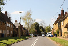
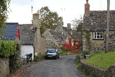
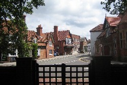
Crowmarsh Gifford
 Crowmarsh
Gifford is on the eastern bank of the River Thames opposite
the historic town of Wallingford, the two being connected
by Wallingford Bridge. Since 1987 the village has been
bypassed by the busy A4074 Reading to Oxford road and
now the Wallingford bypass also bypasses the village,
so there is now less through traffic. Crowmarsh
Gifford is on the eastern bank of the River Thames opposite
the historic town of Wallingford, the two being connected
by Wallingford Bridge. Since 1987 the village has been
bypassed by the busy A4074 Reading to Oxford road and
now the Wallingford bypass also bypasses the village,
so there is now less through traffic.
Find Crowmarsh Gifford on the Ordnance Survey map |
Goring
 It is probable that everyone
who has heard of Goring associates it with the attractive
gap between the Berkshire Downs and the Chilterns known
as the Goring Gap. Here the Oxfordshire village of Goring and the Berkshire village of Streatley
stand on opposite sides of the River Thames, linked by
a fine bridge which was built in 1923. The beautiful riverside
setting and the attractive views of the hills on either
side make Goring an extremely attractive village. It is probable that everyone
who has heard of Goring associates it with the attractive
gap between the Berkshire Downs and the Chilterns known
as the Goring Gap. Here the Oxfordshire village of Goring and the Berkshire village of Streatley
stand on opposite sides of the River Thames, linked by
a fine bridge which was built in 1923. The beautiful riverside
setting and the attractive views of the hills on either
side make Goring an extremely attractive village.
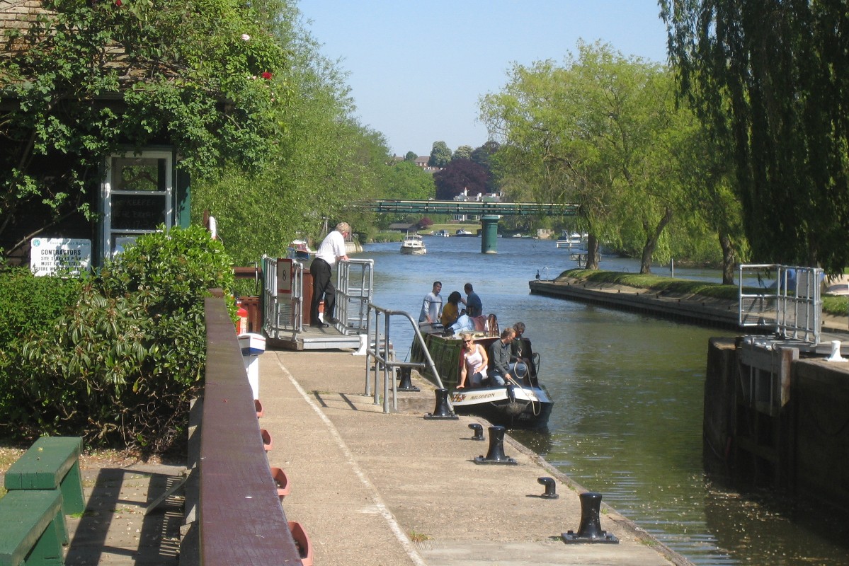
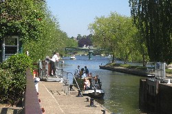
The river was first forded by the Romans who built a causeway.
The first bridge over the river, a toll bridge, was built
upstream of the ferry in 1837. This lasted until the present
bridge was built in 1923 and from it you can look down
on Goring lock and the weir. The present lock was built
in 1921 and was then unusual in that it had an extra pair
of lock gates, creating two chambers.This enabled boats
to travel faster through the lock and use less water each
time the lock was used.
Find Goring on the Ordnance Survey map |
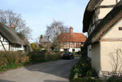
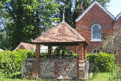
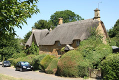
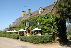
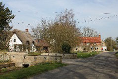
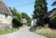
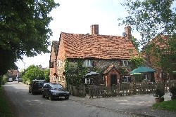
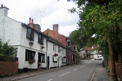
Mapledurham
.jpg) Mapledurham
is a small estate village on the north side of the Thames
a few miles west of Caversham. Facing Mapledurham on the
opposite bank of the river is the Berkshire village of Purley-on-Thames
which is effectively a suburb of Reading. Mapledurham
is a small estate village on the north side of the Thames
a few miles west of Caversham. Facing Mapledurham on the
opposite bank of the river is the Berkshire village of Purley-on-Thames
which is effectively a suburb of Reading.
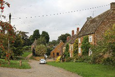
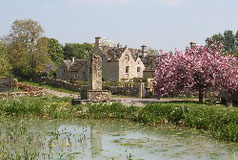
Visitors to Mapledurham are attracted mainly by Mapledurham
House and Water Mill. Mapledurham House is a Grade I Country
House c.1585 with C19 alterations and extensions. Most
of the village is a conservation area and there are 33
listed buildings in and around the small village, including
farmhouses, barns, stables, houses, cottages, statues,
etc.
Find Mapledurham on the Ordnance Survey map |
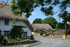
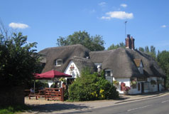
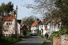
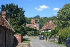
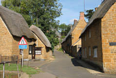
North Stoke
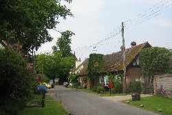 North Stoke is a delightful small Thames-side village
lying just off the Goring to Crowmarsh road. The
village itself is on a sleepy backwater, but most people
will perhaps know the village as the home of The Springs
Hotel and Golf Club which is on the "main road". North Stoke is a delightful small Thames-side village
lying just off the Goring to Crowmarsh road. The
village itself is on a sleepy backwater, but most people
will perhaps know the village as the home of The Springs
Hotel and Golf Club which is on the "main road".
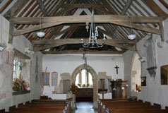
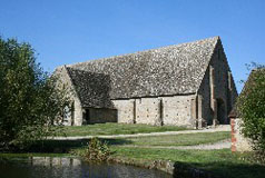
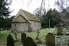
The parish church is the Church of St. Mary, which
is almost entirely medieval, and still has wall paintings,
ancient oak pews and a brick floor.
Find North Stoke on the Ordnance Survey map |
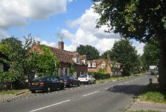
Shiplake
 Shiplake
is south of Henley-on-Thames on the A4155 road which leads
to Caversham and Reading. Both the old village
of Shiplake and the newer settlement of Lower Shiplake spread away
from the road towards the River Thames. Shiplake
is south of Henley-on-Thames on the A4155 road which leads
to Caversham and Reading. Both the old village
of Shiplake and the newer settlement of Lower Shiplake spread away
from the road towards the River Thames.
The village originated near where the C12 Church of St
Peter and St Paul can still be found. This is where the
manor house (now known as Shiplake Court) was situated
on a beautiful site overlooking the river. The Manor house
was rebuilt in 1894 and is now a boys public school. However
on the building of the railway in 1858 and the station,
about a mile away from what had been the centre, a new
settlement grew around the ancient settlement of Lashbrook
which is mentioned in Domesday Book, along with its mill.
The mill was where Shiplake lock is now and existed until
1908.
Find Shiplake on the Ordnance Survey map |
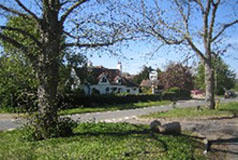
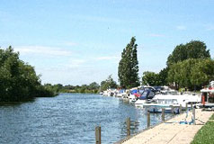
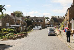
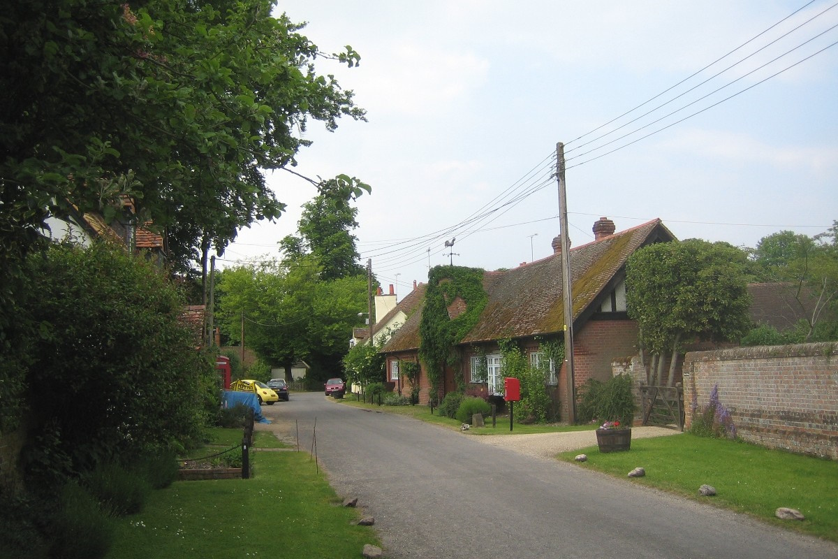
South Stoke
 South
Stoke is another delightful village, sandwiched between the River Thames and
the main railway line from Paddington to Oxford and the
south-west. Access to the village from the Goring to Crowmarsh road is by way of one of three arched bridges,
whilst a fourth way through the railway embankment, known
locally as the Bogey Hole, enables a footpath to the hamlet
of Little Stoke. South
Stoke is another delightful village, sandwiched between the River Thames and
the main railway line from Paddington to Oxford and the
south-west. Access to the village from the Goring to Crowmarsh road is by way of one of three arched bridges,
whilst a fourth way through the railway embankment, known
locally as the Bogey Hole, enables a footpath to the hamlet
of Little Stoke.
Unlike the railway, which is very evident,
you may not realise the river
was there unless you looked at a map or wandered down
the track to the old ferry crossing to Moulsford!
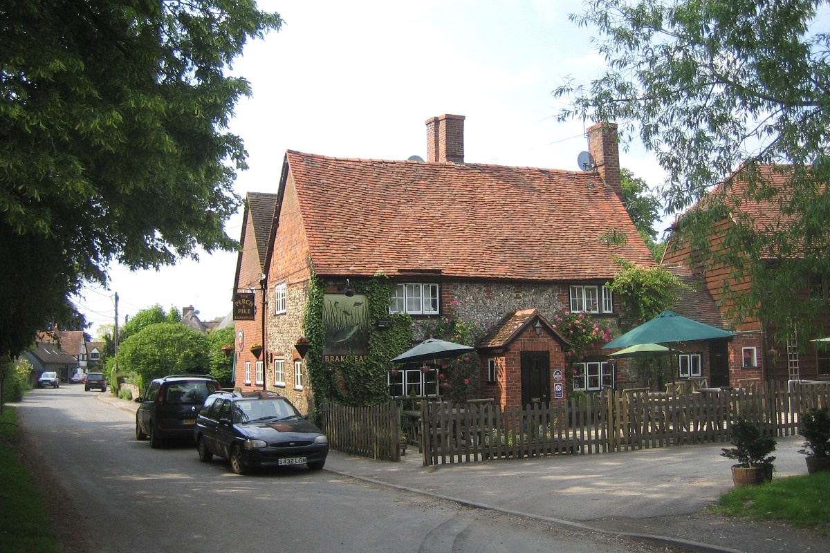
Perhaps though the Perch and Pike pub gives the closeness
of the river away, both by its name and its display of
record catches of fish from the river!
Find South Stoke on the Ordnance Survey map |
Whitchurch-on-Thames
 Whitchurch-on-Thames
is an attractive Thames-side village about half way between Goring and Reading. On the opposite
side of the river, and linked to Whitchurch-on-Thames
by Whitchurch Bridge is the Berkshire village of Pangbourne.
Approaching Whitchurch-on-Thames by road from the north
the road drops down from the Chilterns into the villlage,
much of which is squeezed into a flat plain about half
a mile wide. Before you realise it you have reached a
toll bridge across the river to Pangbourne. Whitchurch-on-Thames
is an attractive Thames-side village about half way between Goring and Reading. On the opposite
side of the river, and linked to Whitchurch-on-Thames
by Whitchurch Bridge is the Berkshire village of Pangbourne.
Approaching Whitchurch-on-Thames by road from the north
the road drops down from the Chilterns into the villlage,
much of which is squeezed into a flat plain about half
a mile wide. Before you realise it you have reached a
toll bridge across the river to Pangbourne.
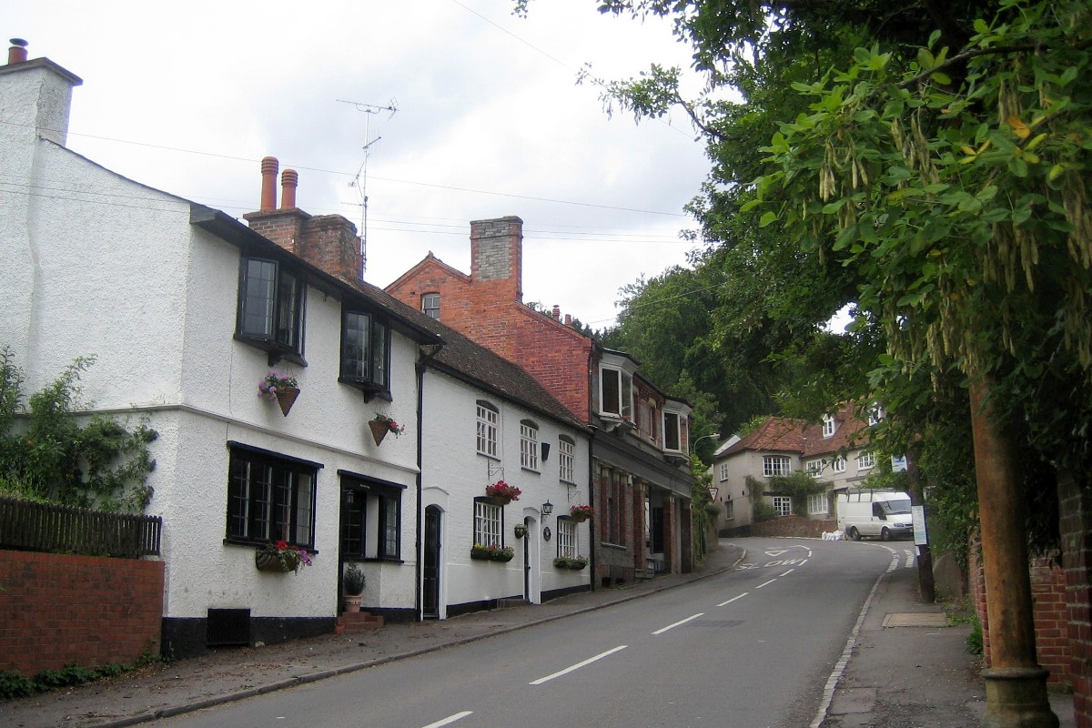
The village has several attractive flint cottages, Edwardian
villas and Georgian town houses. There is also a mill
which has now been converted and is no longer in use.
Find Whitchurch-on-Thames on the Ordnance Survey map |